How many layers or themes make up this map?
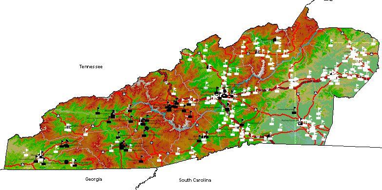
The above map of the location of public schools in our region is composed of several layers of data that are pulled from the GIS database upon request and inserted into the map. These layers are called themes in the ArcVoyager GIS program. These themes are:
If you were such an observant viewer that you noticed five, you did well. The five easier ones are: WNC schools, Places, Counties, Roads and Terrain. Otherwise, you would need more experience with GIS systems to know about the other themes (layers).
Mathematics, Spreadsheets and Thinking Home page | Page author: Houghton Updated September 21, 2004